Browse Items (51 total)
Sort by:
University of Tennessee Environment Center Program Brochure
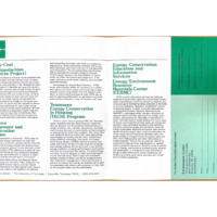
Brochure outlining research programs and services related to energy conservation, environmental impact, and resource management, with emphasis on coal mining and sustainability.
Uncle Sam turns moving man on giant scale to shift 3000 TVA area families
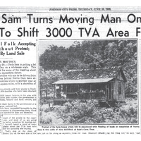
This 1935 newspaper image shows a typical home that would be abandoned as thousands of families were displaced by the construction of Norris Dam. It represents the everyday lives and communities lost as the TVA flooded the region.
TVA Norris Quadrangle Topographic Map
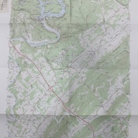
A TVA 1929 topographic map of the Norris Quadrangle, revised and published in 1973. Lists roads, public areas, Norris dam, cemeteries, and more.
TVA Location of Dams and Reservoirs
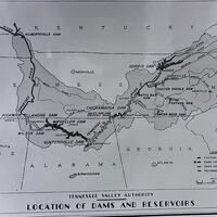
A map illustrating the location of existing, under construction, and recommended dams and reservoirs within the Tennessee River system. Notable sites include Norris, Wheeler, Wilson, and Pickwick Landing Dams. The map was originally featured in the…
Toward the TVA Act
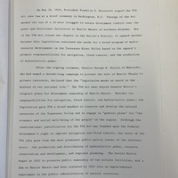
Daniel Schaffer argues that the creation of the Tennessee Valley Authority (TVA) was not just a single law passed in 1933, but the result of a gradual shift in thinking about how to manage an entire region’s natural resources and economy.
The TVA Region Map
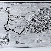
This photo is a black-and-white illustrated map depicting the Tennessee Valley Authority (TVA) region across parts of Tennessee, Kentucky, Alabama, Georgia, North Carolina, and Virginia. The map highlights major cities, rivers, and TVA dam sites. The…
The South Holston Dam in Tennessee

This first set of pictures show the South Holston Dam while it is being constructed. The third picture shows the completed reservoir that forms after the dam is complete. The South Holston Reservoir is located on the South Fork of the Holston River…
The SOCM Sentinel March 1983

A newsletter for club members discussing accomplishments, new laws proposed that the effects the club, updates from county chapters, and information about upcoming fundraising opportunities
The Appalachian Trailway
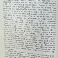
The SMHC and The Appalachian Trail Conference have worked together to create new trailway programs to help maintain the quality and safety of the trails in the park.
Summary of Abiding Appalachia: Where Mountain and Atom Meet by Marilou Bonham Thompson
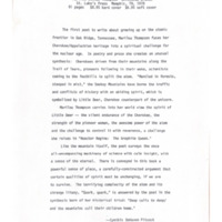
Review of Abiding Appalachia: Where Mountain and Atom Meet by Marilou Bonham Thompson, focusing on Appalachian identity, Cherokee history, and nuclear themes. Includes an accompanying check from the author related to the review.