Browse Items (51 total)
Sort by:
Norris High School
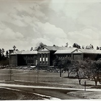
This photo, labeled "Norris High School", likely comes from either the 1940's or 1983. The school has undergone some changes since those days, but not many.
Norris Dam, 1940
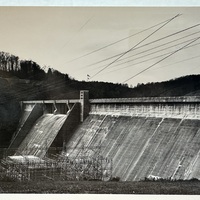
Here, Norris Dam is seen (likely from the visitor overlook) in it's full, completed glory. A note on the back of the photograph reads: "TVA's first construction project, it symbolized both TVA and the transformation that the agency had brought to the…
Norris Dam Tower
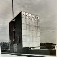
The bridge-access tower on top of the Norris Dam. This photo likely taken in 1983, though the tower looks much the same here as it does in 1936.
Norris Square Sign
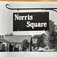
A street sign titled "Norris Square" hangs near a local general store. The distinct visual style of Norris' planned community can be seen here. The date of the photo is unknown, but was likely taken after 1970 due to the particular USPS logo on the…
Norris Road, 1984
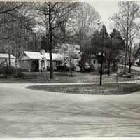
A photograph, likely taken in 1984, of a Norris street.
Nuclear Age Poetry: Indigenous Resistance
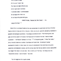
This excerpt explores how Indigenous writers challenge dominant narratives and expose the role of U.S. government and corporate interests in exploiting Indigenous lands. Through poetry and commentary, the text highlights environmental and cultural…
University of Tennessee Environment Center Program Brochure
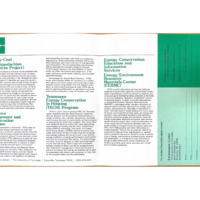
Brochure outlining research programs and services related to energy conservation, environmental impact, and resource management, with emphasis on coal mining and sustainability.
Norris Dam Overlook, 1940
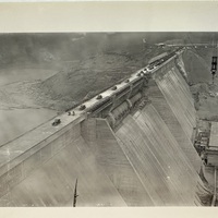
Here the Norris Dam can be seen as various vehicles cross the bridge on it's crest. A crane hovers in the background.
Fontana Dam Construction
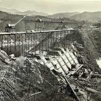
A photo taken from the ridge line, adjacent to the development of the Fontana Dam, developed by the Tennessee Valley Authority. This photo shows the mass deforestation and renovation of the natural landscape, all in the effort to construct this hydro…
Filling station in Loyston, 1933
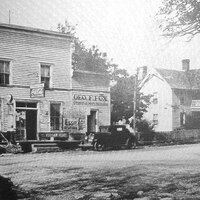
The photo was taken of the community of Loyston location in Union County, TN. This city was submerged and destroyed due to the building of Norris Dam.