Browse Items (51 total)
Sort by:
Norris Road, 1984
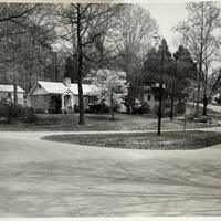
A photograph, likely taken in 1984, of a Norris street.
Norris Middle School, 2026
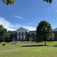
A picture of Norris Middle School, taken from near the road. This historic building has hosted schoolchildren of all ages since the 1930's.
Norris Lake Marina
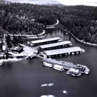
This aerial photo of Norris Lake shows how the area changed after Norris Dam was built in 1936. Land that was once forests, farms, and small communities was flooded to create the lake. The shoreline is now used for marinas and recreation instead of…
Norris High School
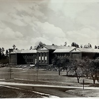
This photo, labeled "Norris High School", likely comes from either the 1940's or 1983. The school has undergone some changes since those days, but not many.
Norris Dam, 1940
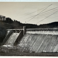
Here, Norris Dam is seen (likely from the visitor overlook) in it's full, completed glory. A note on the back of the photograph reads: "TVA's first construction project, it symbolized both TVA and the transformation that the agency had brought to the…
Norris Dam Tower, 2026
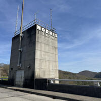
The Norris Dam Bridge Tower, pictured here in 2026 from a personal photograph of mine. The dam's bridge tower has added a few features since the 30's, but mostly remains unchanged.
Norris Dam Tower
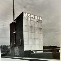
The bridge-access tower on top of the Norris Dam. This photo likely taken in 1983, though the tower looks much the same here as it does in 1936.
Norris Dam Overlook, 2026
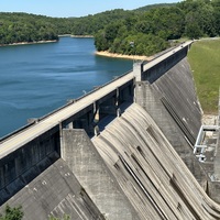
A view of Norris Dam from the nearby scenic overlook available to visitors.
Norris Dam Overlook, 1940
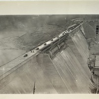
Here the Norris Dam can be seen as various vehicles cross the bridge on it's crest. A crane hovers in the background.
Norris Dam from the ground, 2026
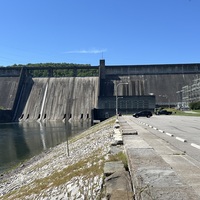
Seen from the visitor parking area, the Norris Dam still towers over the Clinch river today.