Browse Items (51 total)
Sort by:
Norris High School
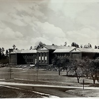
This photo, labeled "Norris High School", likely comes from either the 1940's or 1983. The school has undergone some changes since those days, but not many.
Norris Dam from near the future visitor center
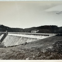
Norris Dam as seem from near the future visitor center. Likely taken in either 1983 or 1933
George W. Norris at the Norris Dam
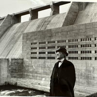
George W. Norris, a prominent Nebraska Senator who spearheaded the TVA's dam-building efforts, stands in front of the newly completed Norris Dam.
Norris Construction Photo
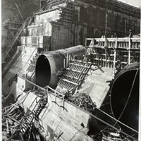
The partial completion of Norris Dam is showcased in December as construction continued through 1934. Chiefly visible are massive tubes, likely to be "penstocks" or "draft tubes".
The TVA Region Map
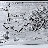
This photo is a black-and-white illustrated map depicting the Tennessee Valley Authority (TVA) region across parts of Tennessee, Kentucky, Alabama, Georgia, North Carolina, and Virginia. The map highlights major cities, rivers, and TVA dam sites. The…
Norris Dam Tower, 2026
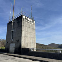
The Norris Dam Bridge Tower, pictured here in 2026 from a personal photograph of mine. The dam's bridge tower has added a few features since the 30's, but mostly remains unchanged.
Norris Middle School, 2026
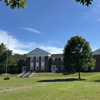
A picture of Norris Middle School, taken from near the road. This historic building has hosted schoolchildren of all ages since the 1930's.
Norris Square, 2026
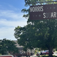
A sign for Norris Square, with a couple of small businesses behind the trees in the background. These buildings, and the trees that adorn their plot, have been there since at least the 1980's.
Norris Dam from the ground, 2026
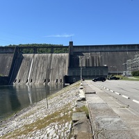
Seen from the visitor parking area, the Norris Dam still towers over the Clinch river today.
Norris Dam from the Visitor Center, 2026
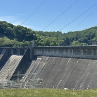
Photos of the dam were taken here many years ago, before the dam had nearby footpaths and a visitor center. This photo was taken a few yards from the visitor center itself.