Mapping a New South
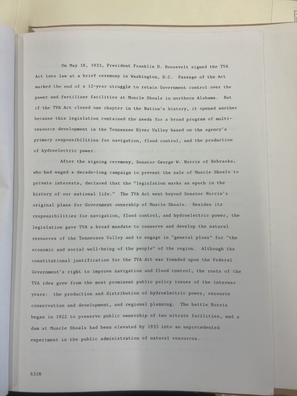
When the TVA Act was first signed by President Franlkin D. Roosevelt in 1933, it was more than just a public works bill. Historian Daniel Schaffer describes the bill as an 'unprecedented experiment in the public administration of natural resources.' The Act went beyond typical conventions of large scale regional planning by treating the entire region as a single unit, of which the TVA had jurisdiction for the 'social well-being of the people.'
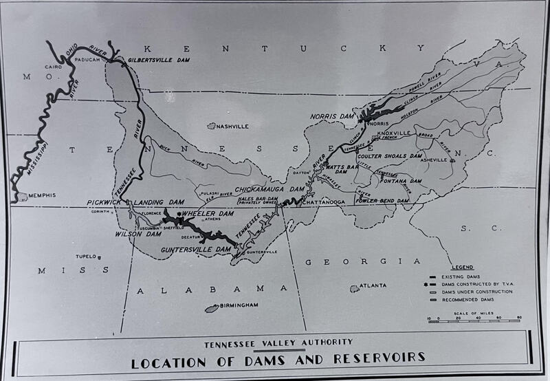
The archival source 'Location of Dams and Reservoirs' map from 1936 visually conveys the all encomapassing nature of the mandate. Here, the Tennessee River is reimagined from a natural entity to a series of calculated 'steps' and 'pools.' The map served as foundation of sorts to usher in the tranformation of an entire region. The reverse side of the map reveals a stamp from the TVA Information Office, indicating the map was not only used internally within the TVA, but as a persuasive form of the agency's PR. By this point only one major Dam had been completed in the same year, so these technical blueprints communicated the inevitability of future TVA action.